Lab 4: Introduction to ArcGIS Pro & Online
Or, 'The humble beginnings of a new Quest to chart this earthen Firmament.'
October 3, 2022
Poking Around ArcGIS Online
The Esri Community is a discussion board where Esri users can ask questions and offer advice. If I run into a question while working with ArcGIS, this should be a good resource to use!
The ArcGIS Blog is a collection of articles published by Esri that describes how different features of ArcGIS Online can be used to make maps more effective and engaging. How handy!
What is ArcGIS Online?
You can obtain maps and other data from the ArcGIS Living Atlas of the World. You can also publish and share your own data with other ArcGIS users through the ArcGIS online software.
Some maps in ArcGIS are floor-aware, meaning they contain indoor spatial data. These floor-aware maps can recognize buildings as well as individual floors within a building.
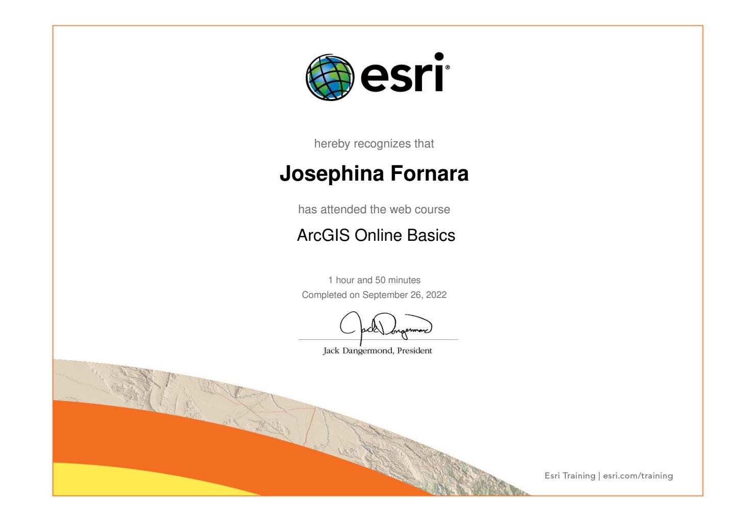
Web Course: ArcGIS Online Basics
To find data from sources outside your organization, click ‘Add’ on the left-hand side of the tool bar, click ‘Search for Layers,’ and then change ‘My Content’ to ‘ArcGIS Online’ or ‘Living Atlas.’
To create a Web App, select any project from the ‘Content’ page, then click ‘Create Web App.’ During the course of this training module, I learned how to create a configurable app.
¡Qué chévere!
Additional Training
Deriving Rasters for Terrain Analysis Using ArcGIS
Elevation data in raster format is used to model the earth's surface, solve problems, and support decision making. This course teaches how to use ArcGIS Spatial Analyst tools to derive raster data from an elevation raster for visualization and analysis.
Exploring Spatial Patterns in Your Data Using ArcGIS
Go beyond a simple visualization to an in-depth examination of your data's characteristics. Learn how to use spatial statistics tools and ArcGIS Geostatistical Analyst tools to better understand your data.
ArcGIS Collector: For Field Collection of Data
Try Collector: Collector is an app that can be used to gather information about a place in real time. Pictures and comments can be uploaded, you can stream your GPS location while walking a path (a derive, if you will), and you can add data from the app to ArcGIS Online maps.
Poking Around ArcGIS Desktop
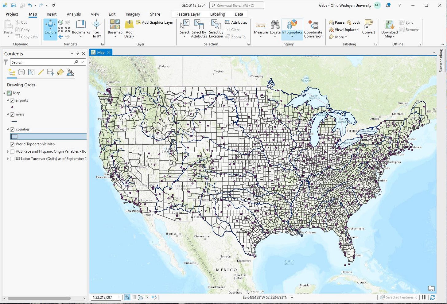
Counties, rivers, and airports…oh my!
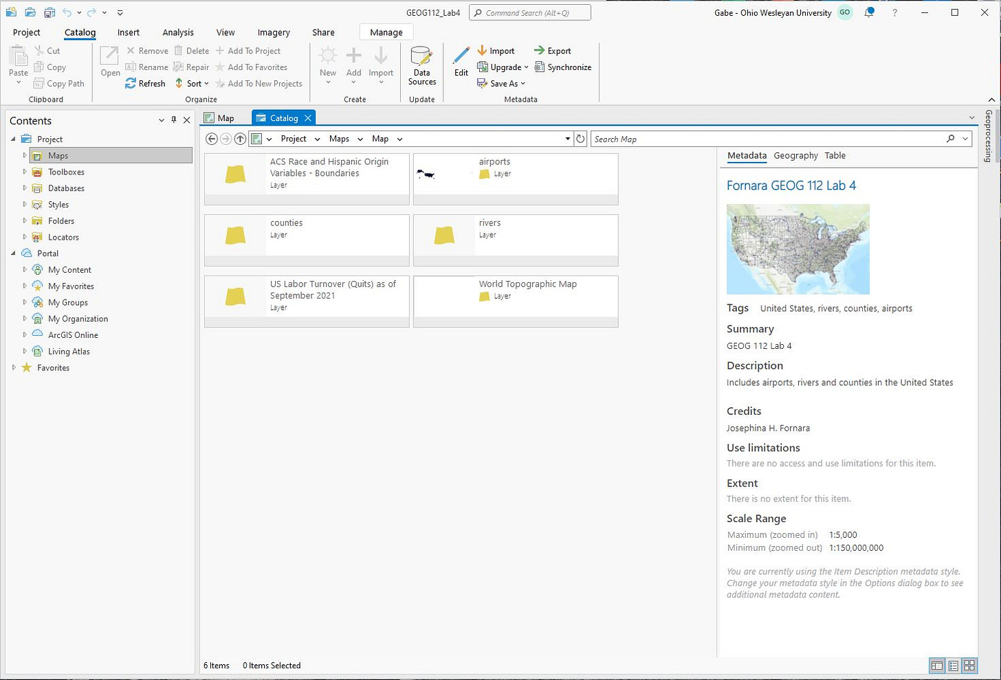
Editing metadata — great!
Pssst…to change the thumbnail for a map, go to the ‘View’ tab and click the ‘Create’ button under the ‘Thumbnail’ section.
Why is metadata important? It probably makes it easier to find relevant information! A map may show a very specific dataset, but the tags used for that map will allow other mapmakers to find that map with a more generalized search term/keyword.
Spoiler Alert: Things start going off the rails!
Turns out, the instructions on jbk’s website did not match what ArcGIS Pro was showing. Luckily, I figured out how to do everything, and I have taken the liberty of editing jbk’s instructions so that future GIS students will not have to suffer as I have.
Find a layer called CENSUS2021_SEN_GYV_SAV
Right mouse click on the layer and select Attribute Table.
Go to the Drawing tab under Feature Layer at the top of the window.
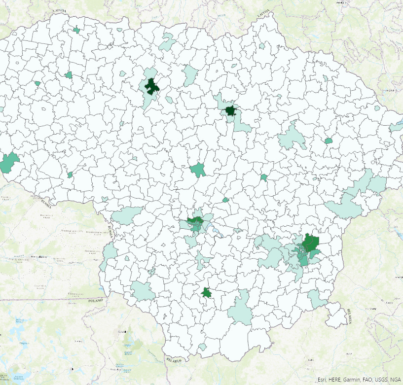
Change the Primary Symbology to Graduated Colors. Pop (population) is the default data but you change it to something else by clicking on the ‘Field’ drop-down menu in the Symbology pane. [Here, I changed my data to ‘Marriage Status: Unmarried Females’ rather than ‘Pop’].
Once done, under the Share tab, click on Export Map. Change type to .jpg and export. It will save the file (however you set it up) in the folder for your project.
Et voilà!


